Home / Services / Survey & mapping
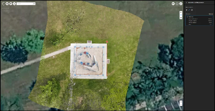
Aerial orthomosaic site map produced from a drone survey in Singapore

Drone survey & mapping in Singapore

Aerial survey captures a site from above and converts the imagery into measurable outputs: scaled orthomosaic maps, 3D models and volume calculations. We fly sites for developers, contractors and consultants who need a current, dimensioned record of ground they cannot easily walk.

Request a quote

What we survey

Top-down aerial site map of a construction site in Singapore

Site mapping

Scaled 2D orthomosaic of the whole site, updated as often as the programme needs.
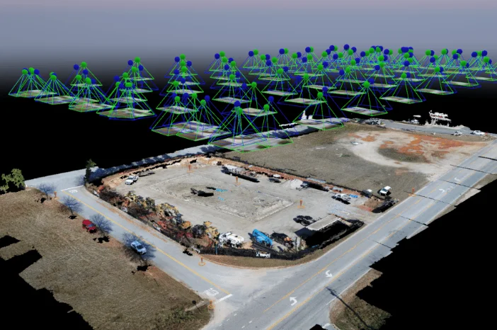
Photogrammetric 3D model and point cloud of a surveyed site

3D models & point clouds

Photogrammetric reconstruction for design coordination and as-built comparison.
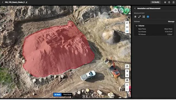
Aerial view of stockpiles measured in a volumetric drone survey

Volumetric surveys

Stockpile and earthworks volumes calculated from the captured surface.
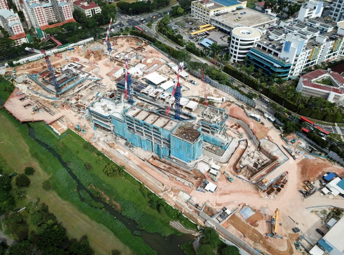
Monthly aerial construction progress photograph of a Singapore development

Progress documentation

Monthly aerial record of construction progression from fixed positions.
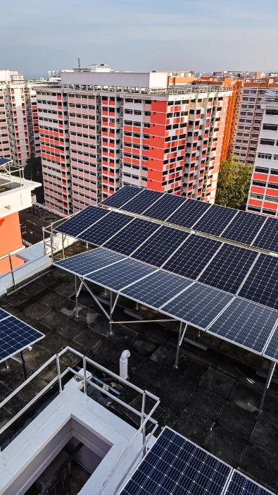
Aerial condition survey of a rooftop solar panel array

Roof & solar inspection

Condition survey of roof areas and panel arrays without access equipment.

Send us the site boundary and what you need measured.

Request a quote